Services
High level engineering services in the different specialised fields.
Structural Sector
Our core business is the structural engineering sector, focused on civil, industrial structure design and geotechnics projects. Our skills are focused on:
Our core business is the structural engineering sector, focused on civil, industrial structure design and geotechnics projects. Our skills are focused on:
- Structural design based on the main construction systems: reinforced concrete, concrete-steel mix, concrete and pre-compressed concrete prefabricated, steel, wood and load-bearing walls
- Supporting and foundation geotechnical work design
- Structural modelling and finite element analysis in linear and non-linear fields.
- Static and seismic structural tests
- Seismic vulnerability tests of existing buildings
- Consolidation intervention designs
- Technical consulting service

Hydraulic Sector
An engineering team with specific expertise in the hydraulic field, leads the hydrologic and hydraulic design in the civil and fluvial sector. Our skills are focused on:
An engineering team with specific expertise in the hydraulic field, leads the hydrologic and hydraulic design in the civil and fluvial sector. Our skills are focused on:
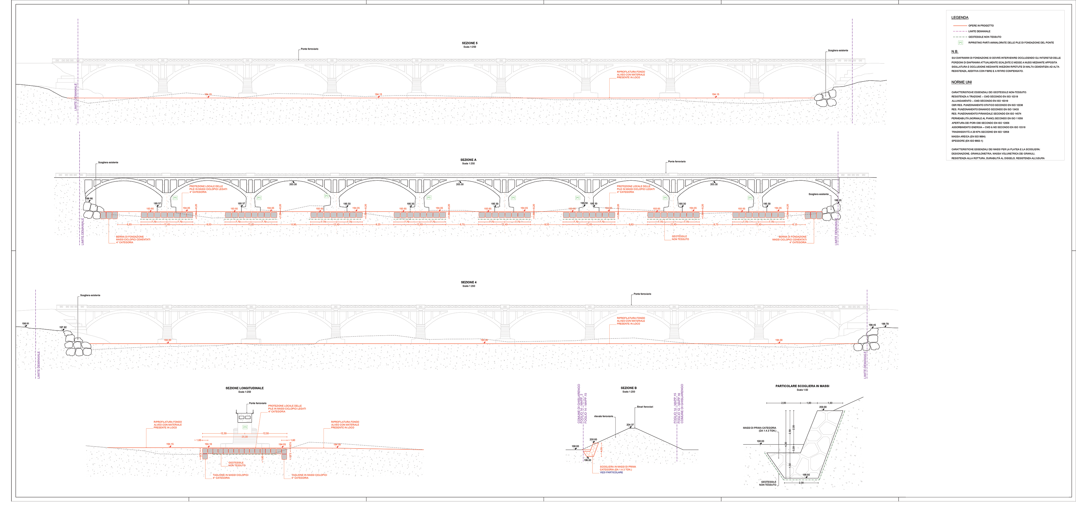
- Modelling flood events in watercourses
- Hydraulic simulations
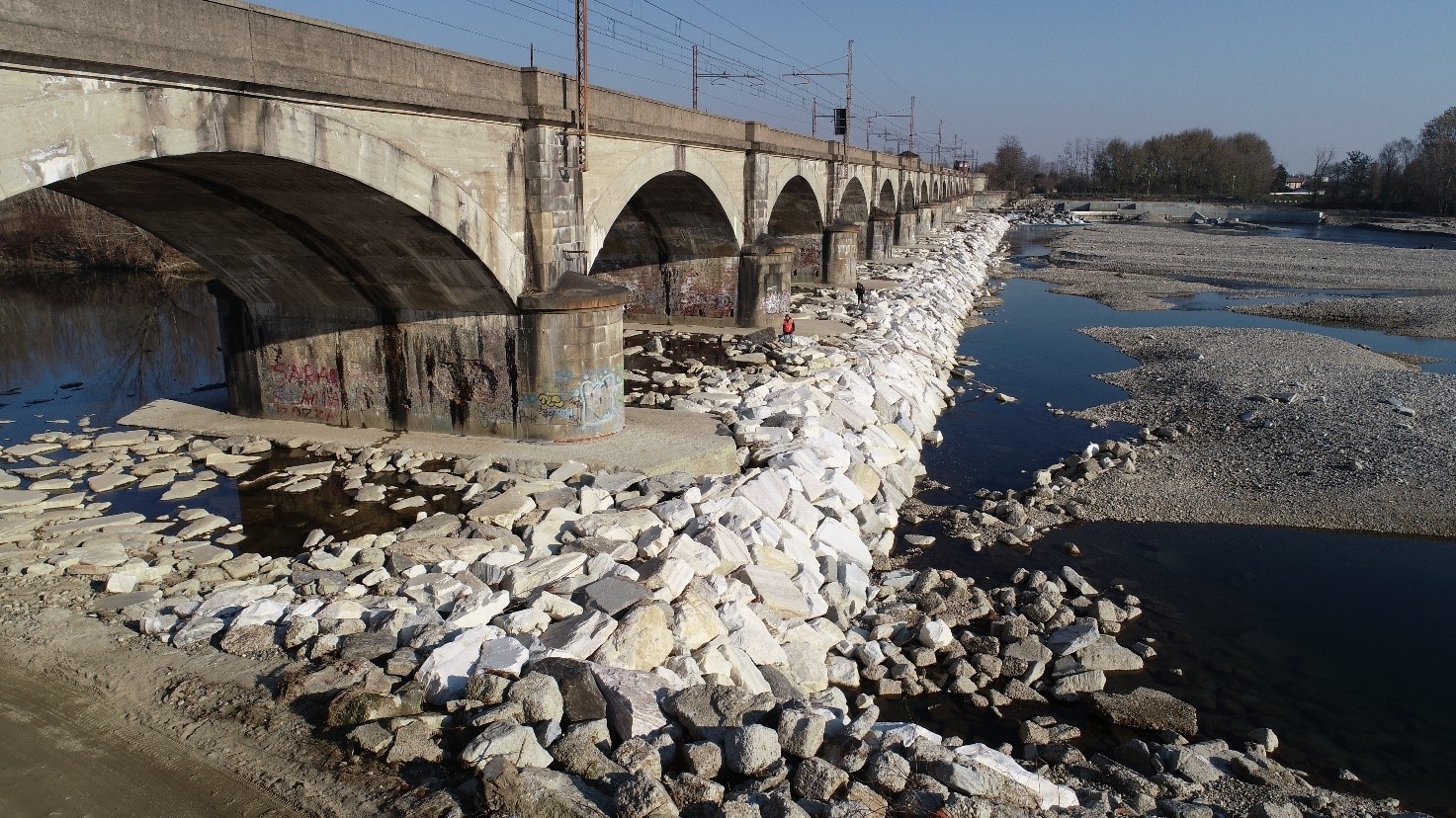
- Bank consolidation work designs
- Road bridge hydraulic tests
- Modelling and hydraulic tests for water and sewage networks
- Technical consulting service

Architectural Sector
The architectural team is focused on the management of the logic-artistic bionomy combined with civil engineering. Our skills are focused on:
The architectural team is focused on the management of the logic-artistic bionomy combined with civil engineering. Our skills are focused on:
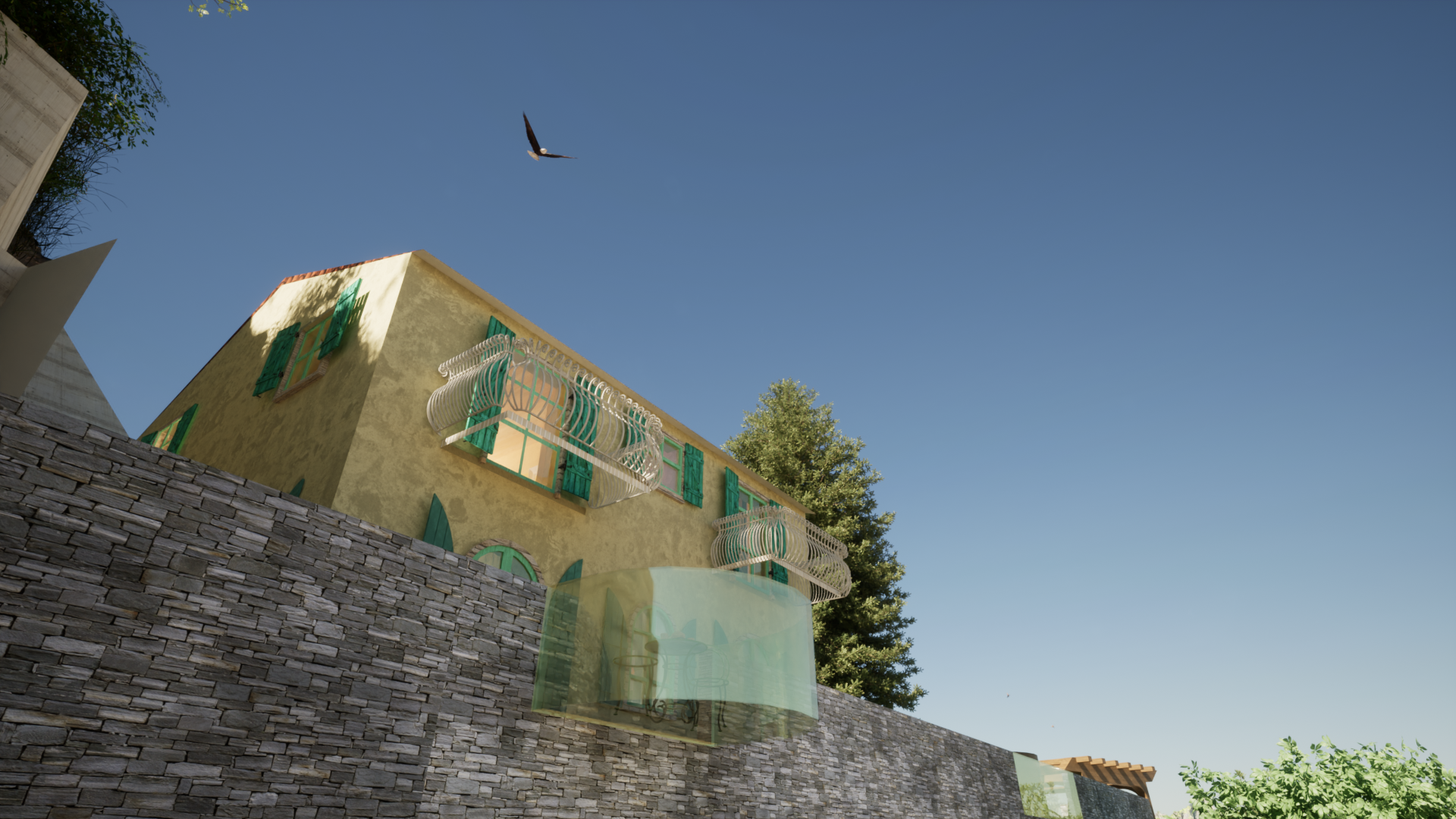
- Architectonical design of new interventions
- Architectonical restoration of existing buildings
- Pavements and connected work (staircases, lifts, underpass, shelters, etc.) designs
- Monumental authorisations achieved
- Landscape authorisations achieved
- Public administration relations
- Drafting engineering paperwork
- Civil structure design, 3D modelling and rendering
- Technical consulting service

Topographic Sector
Our team in topography is formed by experts and professional of the sector. Our skills are focused on:

Our team in topography is formed by experts and professional of the sector. Our skills are focused on:
- Plano/altimetric and architectonical surveys conducted through Laser Scanner, Complete Station and GNSS receiver (GPS)
- Classic trigonometric network
- Working site, road, boarders and area plan surveys
- Civil and industrial construction surveillance
- Accurate bathymetric surveys
- Aerial photogrammetry
- Creation of 3D digital models (point clouds, DEM/DTM/DSM, orthophotography, modelling buildings in 3D, cave volumetric surveys
- Drafting cadastral paperwork
